|
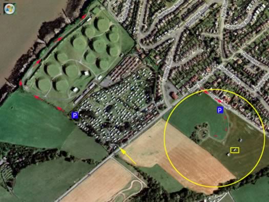
INFORMATION: Map/Plan of
this part of Portishead. The road is the coast road from Clevedon
to Portishead. On the
crossroads is a bungalow which was the guard room, the
blue P is where to park, the yellow
circle is the AA site & the yellow
square is one of three ammunition rooms. |
|
| Map/Plan | Portishead AA West |